Geography
Geography at Goodrich inspires the children to see themselves as geographers. The curriculum enables them to fully understand the interaction between human and physical geographical processes. Children access a range of thematic and regional studies, placing their identity and locality at the heart of learning, establishing connections on a local to global scale. Through practical and creative activities, children are taught to apply their skills and knowledge to understand why the world is the way it is today, and what it will be like in the future. Knowledge and skills are taught in a way that enables the children to enquire, carry out fieldwork and develop expert map skills. Geography is present across the curriculum, providing a rich web of knowledge and skills to help connect learning.
-
Geography Progression Map
download_for_offline
download_for_offlineGeography Progression Map
- Geography Progression Map EYFS download_for_offline
download_for_offlineGeography Progression Map EYFS
- Geography Whole School Curriculum Map download_for_offline
download_for_offlineGeography Whole School Curriculum Map
Intent
At Goodrich, we aim to inspire in our children to have fascination for the rich and diverse world around them, its people, their lives and cultures; to become confident global citizens who have a secure understanding and appreciation for their community, their country, the world in which they live and their place within it.
Through Geography, our children will build an increasingly broad knowledge of places, landscapes and environments across the globe, gain a deep understanding of the Earth’s physical and human processes and how they interact. They will reflect on and understand how these processes determine the Earth’s features, both physical and human, and how these evolve over time. They will consider what these changes mean for the future and how we all play a part in informing it. We study physical and human geography alongside an emphasis on geographical enquiry. Our curriculum aims to give children a love of their part of the world that they see each day when they step out of home, a curiosity for finding out why their world is the way it is and provides children with an understanding of some of the ways we can protect it.
Implementation
In order to achieve our aims, we have designed a curriculum, informed by the 2014 Primary National Curriculum to ensure coverage, that will engage our children, give purpose and equip them with the knowledge and skills needed to be informed and effective members of society.
Lessons are planned for alongside our progression of knowledge and skills document to ensure our children are taught progressively, building their knowledge and skills in geographical enquiry as they move up the school. Geography units are sequenced so that each lesson builds upon the last.
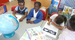
Our children study geography in half-termly blocks. Lessons are approached creatively, ensuring they are experiential, purposeful and immersive. This not only ensures the children’s engagement, but delivers lessons that resonate and can be accessed by all. Each lesson is an opportunity to utilise and build upon developing skills. A variety of resources are used to support investigations in different contexts, to observe, measure, gather information, analyse, compare and contrast and share their findings.
The Early Years Foundation Stage (EYFS) follows the ‘Development Matters in the EYFS’ guidance, which states that all children in reception should have an ‘Understanding of the World; people and communities, the world and technology’ by the end of the academic year. Topics are chosen and units planned in accordance with this along with our children’s progression of learning as they move up the school.
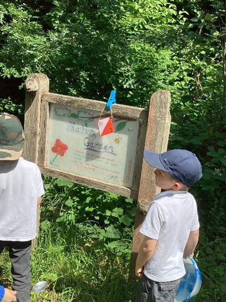
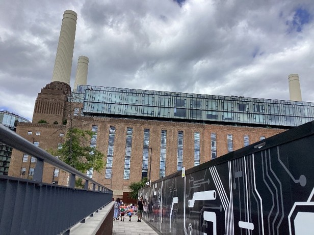
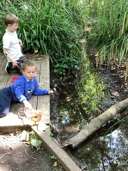
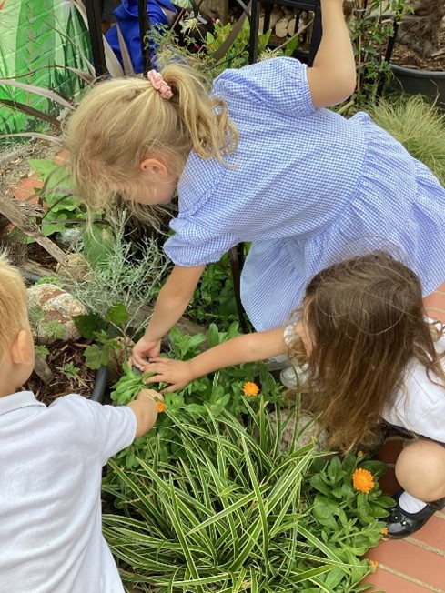
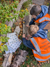
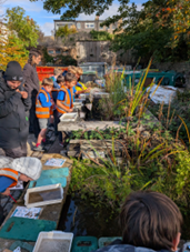
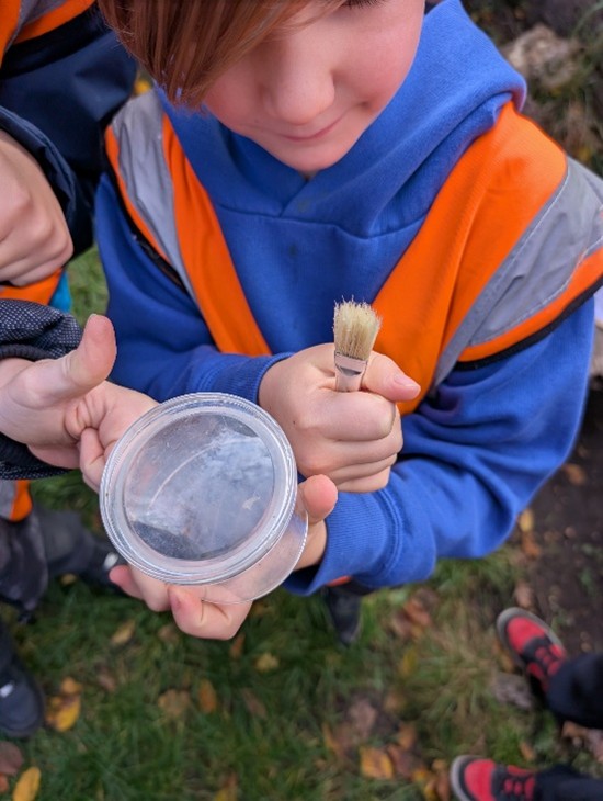
Great importance is also placed into learning outside of the classroom. Whether within the school grounds, the local community or further afield, opportunities to investigate, gather information and foster skills in observation and fieldwork are an extremely important part of the children’s geography learning. Throughout these units, children experience managing risks, navigating real landscapes and gathering data for real purposes. Additional learning opportunities are also planned for through school trips and visits, providing greater enrichment in a variety of contexts.
Impact
Throughout the geographical curriculum, learning is revisited frequently. Opportunities for frequent oral and written recall of learned knowledge happen throughout each unit in order to help with understanding and retention of learning. Throughout the unit, practical and creative learning leads to an enquiry-based outcome (essays, reports, spoken accounts) and this assesses children’s understanding and progress of knowledge and concepts covered.
Geography enables children to make sense of their world around them. When the topic focus is geography, children develop awareness of where they live and how it is similar and different to various geographical places in the world beyond, its physical and human geography, culture, traditions and what it’s like to live there. Our many trips and school journeys incorporate geographical skills such as map work, looking at aerial photos and making comparative studies.
Learning Across the Year Groups
EYFS
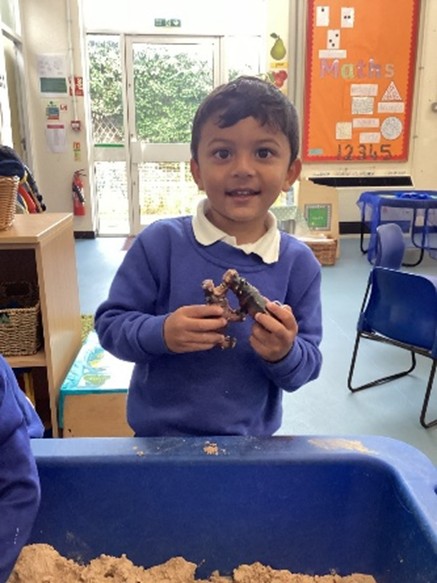
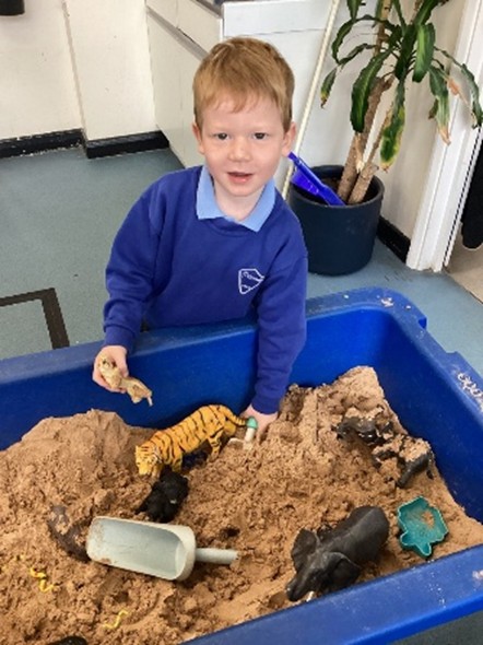
In Early Years, geographical knowledge is developed with the ‘Understanding the World’ strand of the EYFS framework. Our children learn to draw information from simple maps and recognise some similarities and differences between life in the UK and other countries. Children explore the world around them. In Reception the children share the stories ‘We’re going on a Bear Hunt’ and ‘We’re going on a Lion Hunt’. The children compare the African Savannah with their local area, East Dulwich. The children enjoy making their own maps of the playground, looking at physical features.
Year 1
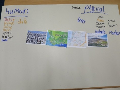
Building on their knowledge from EYFS, Year 1 continue with fieldwork and observational skills to study the geography of Goodrich Primary School, looking at key human and physical features such as the astro turf and playgrounds. They learn to represent these using symbols on a key. The children also learn about the polar regions and compare these to countries closer the equator. We consider changing climates, plants and animals and how we can help. The children also learn about looking after our world with a study of the Amazon.
Year 2
In Year 2, children build on their geographical knowledge by exploring their own country, contrasting global locations, and the changes that occur over time in different environments.
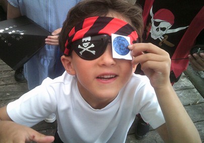
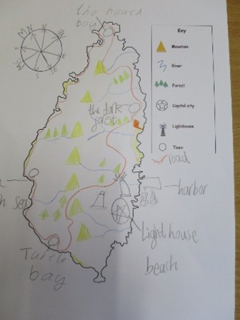
The year begins with the topic Continents and Oceans – Pirates, where children use maps, globes, and atlases to locate the UK, its surrounding seas, and begin to identify the world’s seven continents and five oceans. Using compass directions and map skills, they create treasure maps and describe routes, developing a strong understanding of key geographical terms and features.
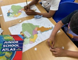
In Hot Places – Kenya, children travel virtually to East Africa to study life in a contrasting country. Using a range of resources, including maps, aerial photographs, and digital tools, they locate Kenya and explore its human and physical geography. They compare a region in Kenya with one in the UK, considering similarities and differences in climate, landscape, and daily life.
Finally, in The Seaside, children revisit their knowledge of the UK, exploring its coastal towns past and present. They investigate how human and physical features of seaside resorts have changed over time, using fieldwork, maps, and photographs. This unit helps children develop their understanding of environmental change and encourages them to reflect on how people and places are connected.
Throughout Year 2, children expand their locational and place knowledge, learn to interpret maps and photographs, and begin to make meaningful comparisons between places around the world.
Year 3
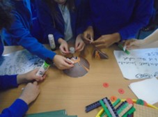
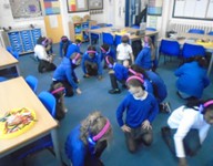
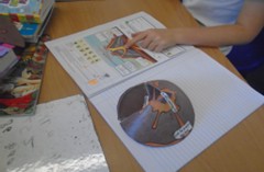
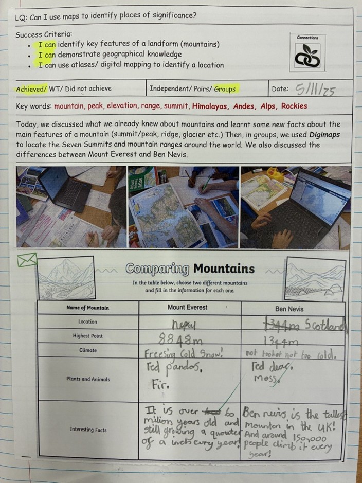
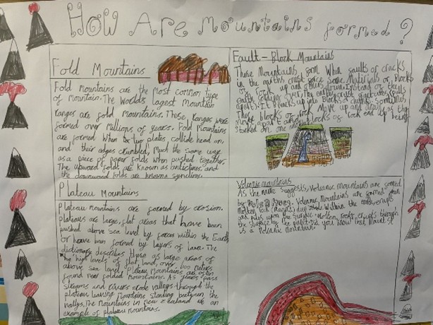
The year begins with Mountains and Volcanoes, where children use maps, atlases, and digital tools to explore some of the world's most impressive natural features. They learn how mountains and volcanoes are formed, identify their key characteristics, and compare mountainous regions around the world—including a detailed look at Mount Everest and a UK mountain.
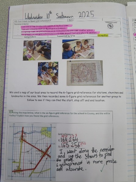
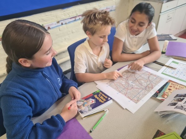
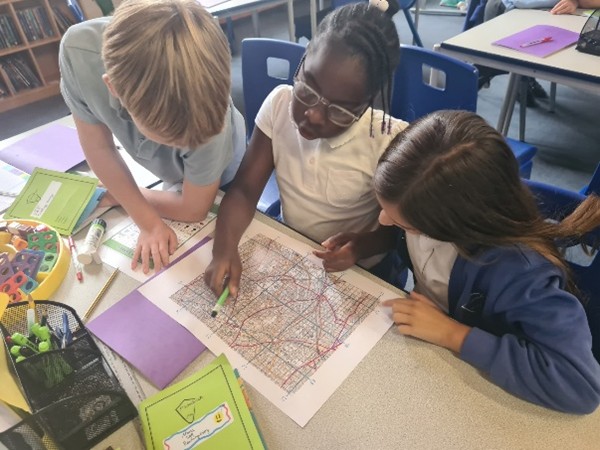
In Conservation and My Local Area, the focus is on the children’s own locality. Using fieldwork and mapping tools, including Ordnance Survey maps and digital resources, children explore how their area has changed over time. They investigate land use, transport, housing, and green spaces, going on walks around the local area and creating their own maps.
The children also learn about South America, which focuses on climate and biomes. Children identify the countries that make up South America, the surrounding seas and geographical features of the continent, including capital cities, deserts, mountain ranges, the Amazon rainforest and the Amazon river. Children learn about the different climate zones and biomes across the continent and why they differ. They then look at what life is like in Rio and compare Brazil and the UK. Finally, the children look at some of the climate change issues that South America is facing.
Year 4
In year 4, the children study rivers, food & agriculture and oceans.
The year begins with the Rivers topic, where children learn about the journey of a river, from source to mouth, using appropriate geographical vocabulary. They also learn about the Water Cycle, linking to the science curriculum, and how rivers are used by humans. In their end of unit write, children compare the River Thames, the Amazon River and the River Seine.
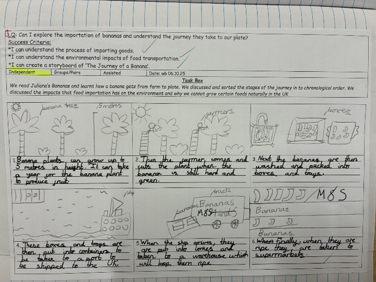
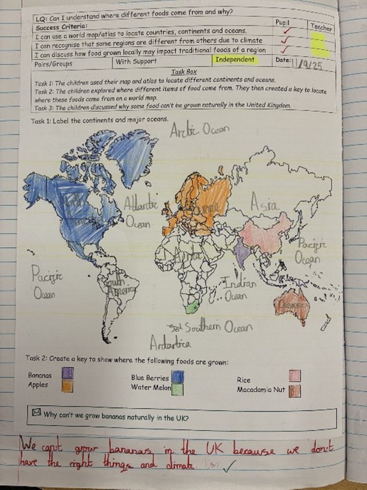
In Food and Agriculture, children investigate where food comes from and how geography influences what we eat. A visit to the local supermarket allows them to trace the origin of different foods and map how far these items have travelled. They create maps and graphs to present their findings, learning about climate zones, food miles, and why we import food from other countries. The unit also explores the environmental impact of transporting food, the benefits and challenges of global trade, and how to make sustainable choices. Children learn about Fairtrade, British agriculture, and food sustainability.
In the Oceans unit, children explore the layers of the ocean, its importance to life on Earth, and the different ways oceans are used—from food and transport to recreation. They learn about the threats facing ocean environments, such as climate change and pollution, and discuss ways we can protect marine ecosystems.
Year 5
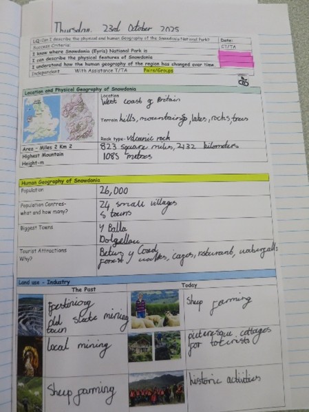
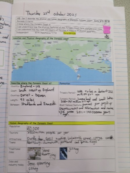
The year begins with The UK unit, where children explore what makes Britain unique. They study the human and physical geography of the UK, including major cities, rivers, mountains, and land use. Using maps, Ordnance Survey tools, and digital resources, they examine how geography has changed over time and compare different regions. This unit links to history and British values, highlighting the cultural and geographical diversity within the UK.
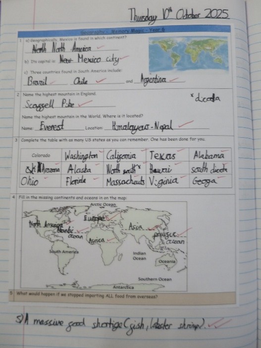
Next, in the North America unit, children explore the continent’s countries, environmental regions, climate zones, and key physical and human features, with a special focus on Mexico. They compare Mexico’s geography with another region in North America and with an area of the UK, considering economic activity, climate, and environmental impacts to develop a wider global perspective.
The final unit, The Environment, focuses on climate change, with a particular emphasis on deforestation in the Amazon rainforest. Children learn about the causes and effects of deforestation and how it relates to global climate change. They explore the impact on wildlife, indigenous communities, and the planet’s health, and discuss ways humans can help protect the environment. This unit encourages children to consolidate their geographical knowledge and understand the urgent need for sustainable actions.
Year 6
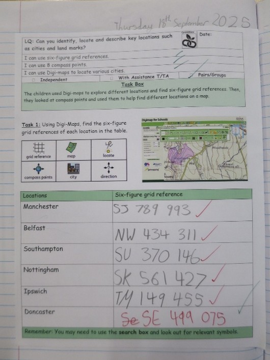
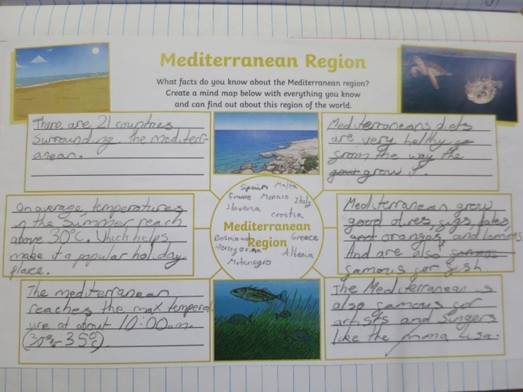
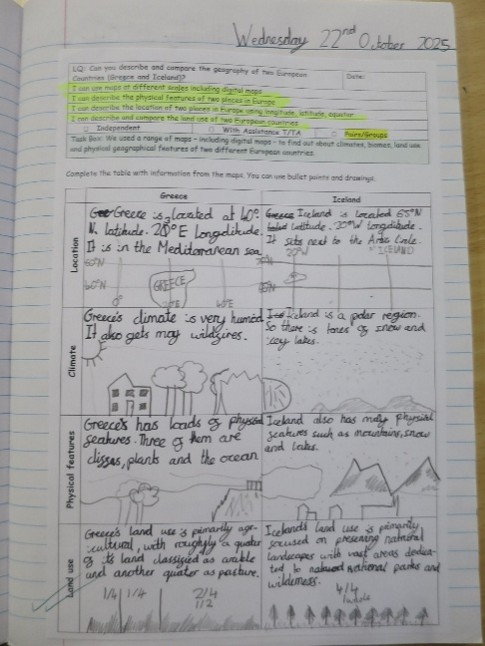
In year 6, children learn about Europe and Japan. In the Europe topic, children learn about many of the countries in Europe, choosing one to research in more depth. They explore the Mediterranean region, discussing why it is such a popular tourist destination. The topic also covers migration to Greece, where children investigate push and pull factors influencing why people travel there. Finally, they conduct a comparative study of two cities—Reykjavik (Iceland) and Athens (Greece)—examining differences and similarities in physical geography, land use, and settlements.
In the Japan topic, children focus on both physical and human geography. They revisit key concepts learned earlier, such as earthquakes and volcanoes, by studying Japan’s location on the Pacific Ring of Fire and the tectonic plate boundaries responsible for frequent natural disasters in the area. Children learn about Japan’s climate, landscape, and the risks posed by earthquakes and volcanic activity.
Practical activities enrich the learning experience: children create contour maps to understand elevation, explore earthquake-proof building designs, build model volcanoes, and prepare weather reports for a Japanese city.
Learning at Home
A five minute conversation a couple of times a week can open up a whole new world of thinking and enjoyment of geography. It isn’t all about maps! Maybe you could try out one of the suggestions below.
- Learn a new country and capital city every week (http://gegraphy.about.com/od/countryinformation/a/capitals.htm)
- Have a 5 minute chat abut geography in the news, e.g. the location and effect of an earthquake, volcano or hurricane, or a local planning issue.
- Identify different types of homes as you walk home from school, e.g. flats, terraced houses, semi-detached homes.
- Look for different types of land use while you walk home, e.g. transport (roads, trains, aeroplanes, canals and rivers), homes, businesses, parks and recreational areas, derelict land.
- Ask your child a “What if…?” question, linking it to the effect on people, places and the environment – e.g. What if we didn’t have any electricity? What if we no longer had mobile phones? What if water stopped flowing from our taps? What if all of the bees in the world died?
- You could introduce your child to some of the geographical websites and online resources available that bring the world of Geography to their fingertips. Here are a few suggestions.
Geography games and homework help are available from Ordnance Survey.
http://mapzone.ordnancesurvey.co.uk/mapzone/
National Geographic Kids has a website packed full of fascinating facts, games and quizzes.
http://kids.nationalgeographic.com/
Maps at your fingertips!
Guess where you are in the world using this amazing Geoguessr game!
http://geoguessr.com/ This game is Popular at Bessemer!
- Geography Progression Map EYFS download_for_offline